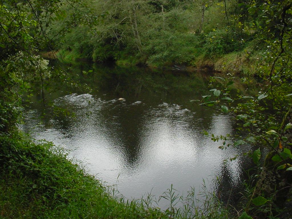
Nestucca River near Beaver
Future / Actual / Minor
OWP 2.0 WWA Modal Title
01/11/2021, 10:04 PM UTC through 01/11/2021, 10:04 PM UTC
Sender
Sent
- Upstream gauge unavailableDownstream gauge unavailableWarning: no valid ratings curve available. Transformations to and from FEET/CFS/KCFS will not happen.
Traces and Thresholds Click to turn on/off display
Observed (OBS) 04/13/2025 7:45 PM PDTOfficial Forecast (FCST) 04/13/2025 2:39 PM PDTRecord: 23.4 ftCATEGORY STAGE 
Major Flooding 21 ft Moderate Flooding 20 ft Minor Flooding 18 ft Action 16 ft Reliability of the Forecast:
NOTE: Forecasts are issued routinely year-round.
National Water Model Hydrograph
Official NWS streamflow forecasts are produced by NWS hydrologic forecasters for river gauge locations using hydrologic models which are calibrated to that location. This process considers additional guidance and information, including local expertise and experience, to produce the best forecast possible. The NWM output provides supplemental guidance to NWS forecasters and should not be considered an official NWS river forecast.
Flood Impacts
- 21 - expect massive dairyland and low lying pasture land flooding from Beaver and Hebo downstream to Woods and Pacific City. Livestock are threatened at this level, and some houses at low elevations near the river may be flooded. Historically at this stage, some sections of Hwy 101 between Hebo and Beaver have been flooded and closed.
- 20 - expect widespread flooding of dairy and low lying pasture land from Beaver and Hebo downstream to Woods and Pacific City. Livestock in numerous areas are likely threatend at this point.
- 19 - expect some flooding of low lying pasture and dairy land from Beaver to Hebo and downstream to Woods and Pacific City.
Gauge Info
| Coordinates | 45.2667, -123.846 |
| RFC | NWRFC |
| State | OR |
| WFO | PQR |
| County | Tillamook |
| Data Provider(s) | |
| US Geological Survey | USGS--Water Resources of the United States |
| USGS | 14303600 |
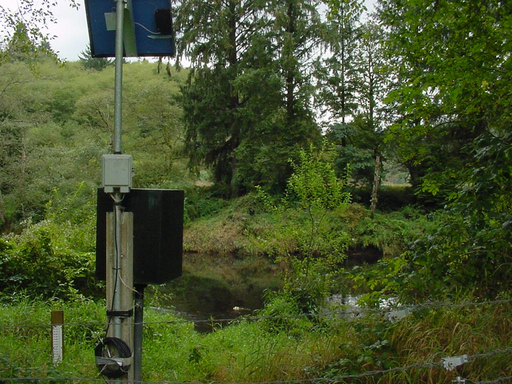
Gauge Location
Recent Crests
| 1. | 15.72 ft | on 12-05-2023 |
| 2. | 14.30 ft | on 12-27-2022 |
| 3. | 17.20 ft | on 11-12-2021 |
| 4. | 15.15 ft | on 10-22-2017 |
| 5. | 14.37 ft | on 11-25-2016 |
Recent Crests
| 1. | 15.72 ft | on 12-05-2023 |
| 2. | 14.30 ft | on 12-27-2022 |
| 3. | 17.20 ft | on 11-12-2021 |
| 4. | 15.15 ft | on 10-22-2017 |
| 5. | 14.37 ft | on 11-25-2016 |
| 6. | 16.93 ft | on 12-07-2015 |
| 7. | 17.40 ft | on 01-16-2011 |
| 8. | 18.88 ft | on 01-02-2009 |
| 9. | 17.72 ft | on 11-13-2008 |
| 10. | 18.90 ft | on 12-03-2007 |
| 11. | 17.65 ft | on 11-07-2006 |
| 12. | 18.20 ft | on 12-28-1998 |
| 13. | 18.20 ft | on 02-07-1996 |
| 14. | 14.73 ft | on 12-10-1987 |
| 15. | 13.92 ft | on 12-03-1983 |
| 16. | 14.74 ft | on 01-24-1982 |
| 17. | 18.16 ft | on 12-13-1977 |
| 18. | 17.99 ft | on 12-02-1977 |
| 19. | 22.00 ft | on 01-11-1972 |
| 20. | 19.53 ft | on 01-28-1965 |
| 21. | 19.21 ft | on 12-22-1964 |
| 22. | 23.40 ft | on 11-20-1962 |
Historic Crests
| 1. | 23.40 ft | on 11-20-1962 |
| 2. | 22.00 ft | on 01-11-1972 |
| 3. | 19.53 ft | on 01-28-1965 |
| 4. | 19.21 ft | on 12-22-1964 |
| 5. | 18.90 ft | on 12-03-2007 |
Historic Crests
| 1. | 23.40 ft | on 11-20-1962 |
| 2. | 22.00 ft | on 01-11-1972 |
| 3. | 19.53 ft | on 01-28-1965 |
| 4. | 19.21 ft | on 12-22-1964 |
| 5. | 18.90 ft | on 12-03-2007 |
| 6. | 18.88 ft | on 01-02-2009 |
| 7. | 18.20 ft | on 02-07-1996 |
| 8. | 18.20 ft | on 12-28-1998 |
| 9. | 18.16 ft | on 12-13-1977 |
| 10. | 17.99 ft | on 12-02-1977 |
| 11. | 17.72 ft | on 11-13-2008 |
| 12. | 17.65 ft | on 11-07-2006 |
| 13. | 17.40 ft | on 01-16-2011 |
| 14. | 17.20 ft | on 11-12-2021 |
| 15. | 16.93 ft | on 12-07-2015 |
| 16. | 15.72 ft | on 12-05-2023 |
| 17. | 15.15 ft | on 10-22-2017 |
| 18. | 14.74 ft | on 01-24-1982 |
| 19. | 14.73 ft | on 12-10-1987 |
| 20. | 14.37 ft | on 11-25-2016 |
| 21. | 14.30 ft | on 12-27-2022 |
| 22. | 13.92 ft | on 12-03-1983 |


Unique Local Info
Collaborative Agencies
The National Weather Service prepares its forecasts and other services in collaboration with agencies like the US Geological Survey, US Bureau of Reclamation, US Army Corps of Engineers, Natural Resource Conservation Service, National Park Service, ALERT Users Group, Bureau of Indian Affairs, and many state and local emergency managers across the country. For details, please click here.
Resources
Hydrologic Resource Links
- River Forecast Centers
- Text Products
- Past Precipitation
- Forecast Precipitation
- Text Table Temp & Precip Forecasts
- 3-Day Detailed Precip Forecast
- 10-Day Temp & Precip Outlook
- Lewis Dams - USGS data (scroll down to Lewis basin)
- Lewis Reservoirs Summary
- Lower Columbia Reservoir and River conditions
- USACE DataQuery
- USGS WaterWatch Oregon
- USGS WaterWatch Washington
- USGS River Temperatures & Water Quality Oregon
- USGS River Temperatures & Water Quality Washington
- Oregon Water Resources Dept - Surface Water Data
- USGS Oregon river levels
- USGS Washington river levels