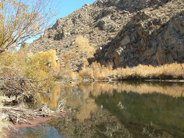
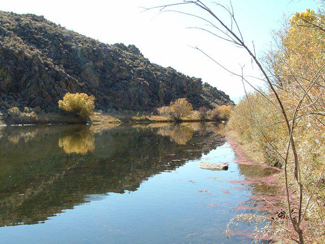
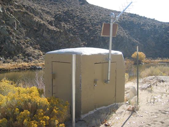
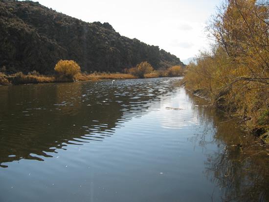
Carson River near Carson City
Future / Actual / Minor
OWP 2.0 WWA Modal Title
01/11/2021, 10:04 PM UTC through 01/11/2021, 10:04 PM UTC
Sender
Sent
- Warning: no valid ratings curve available. Transformations to and from FEET/CFS/KCFS will not happen.
Traces and Thresholds Click to turn on/off display
Observed (OBS) 04/14/2025 5:20 AM PDTOfficial Forecast (FCST) 04/13/2025 8:26 AM PDTRecord: 19.2 ftLow Threshold: 0 ftCATEGORY STAGE Major Flooding 11 ft Moderate Flooding 10.5 ft Minor Flooding 10 ft Action 8 ft Reliability of the Forecast: Based on current and forecast river, weather and reservoir conditions
NOTE: Forecasts are issued routinely year-round.
Stage may be affected by ice during winter months.
Reported historic crests have been estimated using recent ratings due to previous channel, location and/or datum changes. USGS observed crests can be found at: waterdata.usgs.gov/nwis/rt Please also see Additional Information tab at the bottom of this page.
National Water Model Hydrograph
Official NWS streamflow forecasts are produced by NWS hydrologic forecasters for river gauge locations using hydrologic models which are calibrated to that location. This process considers additional guidance and information, including local expertise and experience, to produce the best forecast possible. The NWM output provides supplemental guidance to NWS forecasters and should not be considered an official NWS river forecast.
Flood Impacts
- 19 - Record flooding with damage previously unknown from Carson Valley to Fort Churchill, including Carson City and Dayton areas. All towns along the Carson River above Lahontan Dam are likely cut off, with bridges and roads badly damaged or destroyed. Heavy damage to homes, businesses, and infrastructure. Exceeding the January 1997 peak level, and about 1 in 100 chance of occurring in any given year.
- 18 - Near Record Flooding, Massive Damage from Carson Valley to Fort Churchill, including the Carson City and Dayton areas. Towns along the Carson River above Lahontan Dam may be cut off. Bridges, roads, homes, and other infrastructure are badly damaged or destroyed. Just below the January 1997 peak level.
- 17 - Approaching record flooding. All towns along the Carson River above Lahontan Dam may be inaccessible, with bridges and roads destroyed or badly damaged, including heavy damage to homes, businesses, and infrastructure. Carson Valley becomes a lake 3 miles wide by 12 miles long, the river is over a half mile wide in places. Thousands of acres of farmland flooded. Peak flows near this level have only been exceeded twice in the 80+ year history of the gage (1997 and 1955),and about a 1 in 50 chance in any year.
Gauge Info
| Coordinates | 39.1077, -119.713 |
| RFC | CNRFC |
| State | NV |
| WFO | REV |
| County | Carson City |
| Data Provider(s) | |
| US Geological Survey | USGS--Water Resources of the United States |
| USGS | 10311000 |
Gauge Location
Recent Crests
| 1. | 8.80 ft | on 05-23-2023 | (P) |
| 2. | 9.28 ft | on 03-11-2023 | (P) |
| 3. | 11.48 ft | on 02-11-2017 | (P) |
| 4. | 10.24 ft | on 01-10-2017 | (P) |
| 5. | 12.24 ft | on 12-31-2005 | (P) |
Recent Crests
| 1. | 8.80 ft | on 05-23-2023 | (P) | |
| 2. | 9.28 ft | on 03-11-2023 | (P) | |
| 3. | 11.48 ft | on 02-11-2017 | (P) | |
| 4. | 10.24 ft | on 01-10-2017 | (P) | |
| 5. | 12.24 ft | on 12-31-2005 | (P) | |
| 6. | 8.01 ft | on 05-21-2005 | (P) | |
| 7. | 19.19 ft | on 01-03-1997 | ||
| 8. | 8.19 ft | on 05-17-1996 | (P) | |
| 9. | 9.80 ft | on 03-11-1995 | (P) | |
| 10. | 8.69 ft | on 03-09-1986 | (P) | |
| 11. | 12.90 ft | on 02-18-1986 | (P) | |
| 12. | 9.21 ft | on 05-31-1983 | (P) | |
| 13. | 8.75 ft | on 04-12-1982 | (P) | |
| 14. | 9.63 ft | on 02-17-1982 | (P) | |
| 15. | 10.17 ft | on 01-15-1980 | (P) | |
| 16. | 7.92 ft | on 01-12-1979 | (P) | |
| 17. | 10.44 ft | on 12-25-1964 | (P) | |
| 18. | 16.46 ft | on 02-01-1963 | (P) | 1 |
| 19. | 19.04 ft | on 12-24-1955 | (P) | 1 |
| 20. | 11.92 ft | on 12-04-1950 | (P) | 1 |
| 21. | 13.97 ft | on 11-22-1950 | (P) | 1 |
| 22. | 10.29 ft | on 01-22-1943 | (P) | 1 |
| 23. | 8.10 ft | on 01-28-1942 | (P) | 1 |
Historic Crests
| 1. | 19.19 ft | on 01-03-1997 | ||
| 2. | 19.04 ft | on 12-24-1955 | (P) | 1 |
| 3. | 16.46 ft | on 02-01-1963 | (P) | 1 |
| 4. | 13.97 ft | on 11-22-1950 | (P) | 1 |
| 5. | 12.90 ft | on 02-18-1986 | (P) |
Historic Crests
| 1. | 19.19 ft | on 01-03-1997 | ||
| 2. | 19.04 ft | on 12-24-1955 | (P) | 1 |
| 3. | 16.46 ft | on 02-01-1963 | (P) | 1 |
| 4. | 13.97 ft | on 11-22-1950 | (P) | 1 |
| 5. | 12.90 ft | on 02-18-1986 | (P) | |
| 6. | 12.24 ft | on 12-31-2005 | (P) | |
| 7. | 11.92 ft | on 12-04-1950 | (P) | 1 |
| 8. | 11.48 ft | on 02-11-2017 | (P) | |
| 9. | 10.44 ft | on 12-25-1964 | (P) | |
| 10. | 10.29 ft | on 01-22-1943 | (P) | 1 |
| 11. | 10.24 ft | on 01-10-2017 | (P) | |
| 12. | 10.17 ft | on 01-15-1980 | (P) | |
| 13. | 9.80 ft | on 03-11-1995 | (P) | |
| 14. | 9.63 ft | on 02-17-1982 | (P) | |
| 15. | 9.28 ft | on 03-11-2023 | (P) | |
| 16. | 9.21 ft | on 05-31-1983 | (P) | |
| 17. | 8.80 ft | on 05-23-2023 | (P) | |
| 18. | 8.75 ft | on 04-12-1982 | (P) | |
| 19. | 8.69 ft | on 03-09-1986 | (P) | |
| 20. | 8.19 ft | on 05-17-1996 | (P) | |
| 21. | 8.10 ft | on 01-28-1942 | (P) | 1 |
| 22. | 8.01 ft | on 05-21-2005 | (P) | |
| 23. | 7.92 ft | on 01-12-1979 | (P) |
Vertical Datum Table
| type | NGVD29 |
|---|---|
| major Flooding | 4631.48 ft |
| moderate Flooding | 4630.98 ft |
| minor Flooding | 4630.48 ft |
| action | 4628.48 ft |
| Latest Value | 4624.04 ft |
| Gauge Zero | 4620.48 ft |
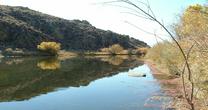
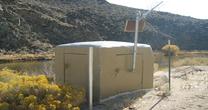
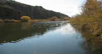
Gauge Photos
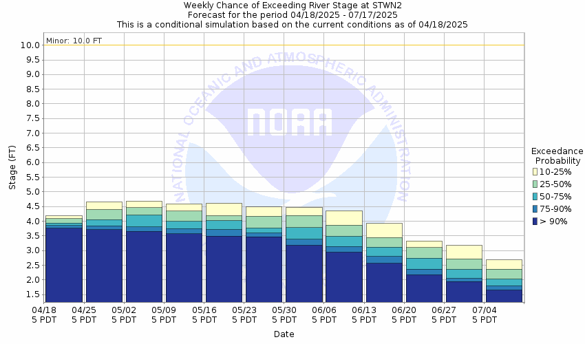
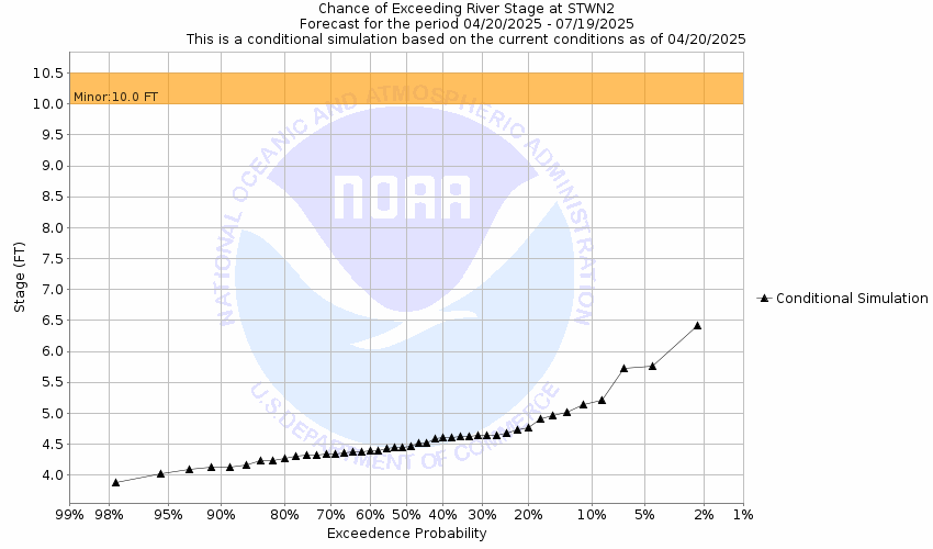
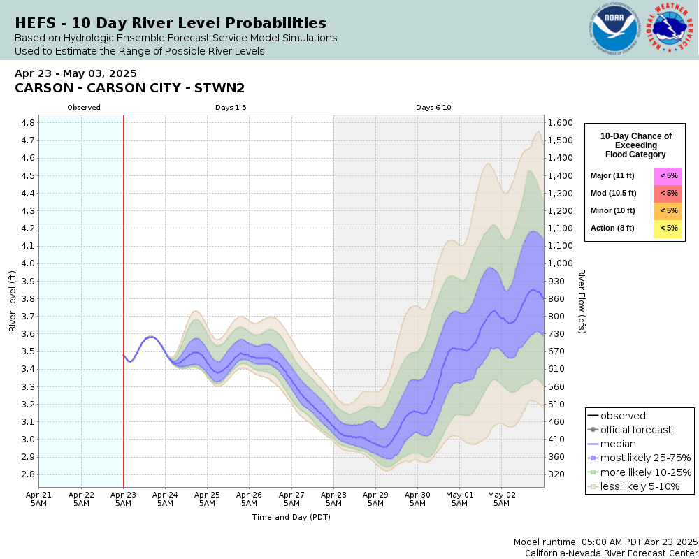
Probability Information
Unique Local Info
Historic crests stages have been estimated using USGS Rating 19.0 (as of 10/18/2023) due to previous channel, location and/or datum changes. For observed crests please go to: https://nwis.waterdata.usgs.gov/usa/nwis/peak/?site_no=10311000
Collaborative Agencies
The National Weather Service prepares its forecasts and other services in collaboration with agencies like the US Geological Survey, US Bureau of Reclamation, US Army Corps of Engineers, Natural Resource Conservation Service, National Park Service, ALERT Users Group, Bureau of Indian Affairs, and many state and local emergency managers across the country. For details, please click here.
Resources
Hydrologic Resource Links
- River Forecast Centers
- Text Products
- Past Precipitation
- Forecast Precipitation
- California-Nevada River Forecast Center Homepage
- USGS Real-Time Hydrologic Data for Nevada
- USGS Real-Time Hydrologic Data for California
- NWS Climate Prediction Center: Outlook Maps, Graphs & Tables
- NV NRCS Snow Program
- Inundation Mapping Locations
- California Data Exchange
- Guide to NWS Hydrologic Information on the Web
Additional Resource Links
- NWS Precipitation and River Forecasting
- Area Hydrographs
- NWS Headquarters, Silver Spring MD
- NWS Western Region Headquarters, Salt Lake City UT
- Western Regional Climate Center, Reno NV
- NWS Forecast Office Homepage, Reno NV
- NOAA Snow Information Center
- Flood Smart Web Page
- FEMA Flood Insurance Program
- FEMA Flood Insurance Rate Maps Interface

