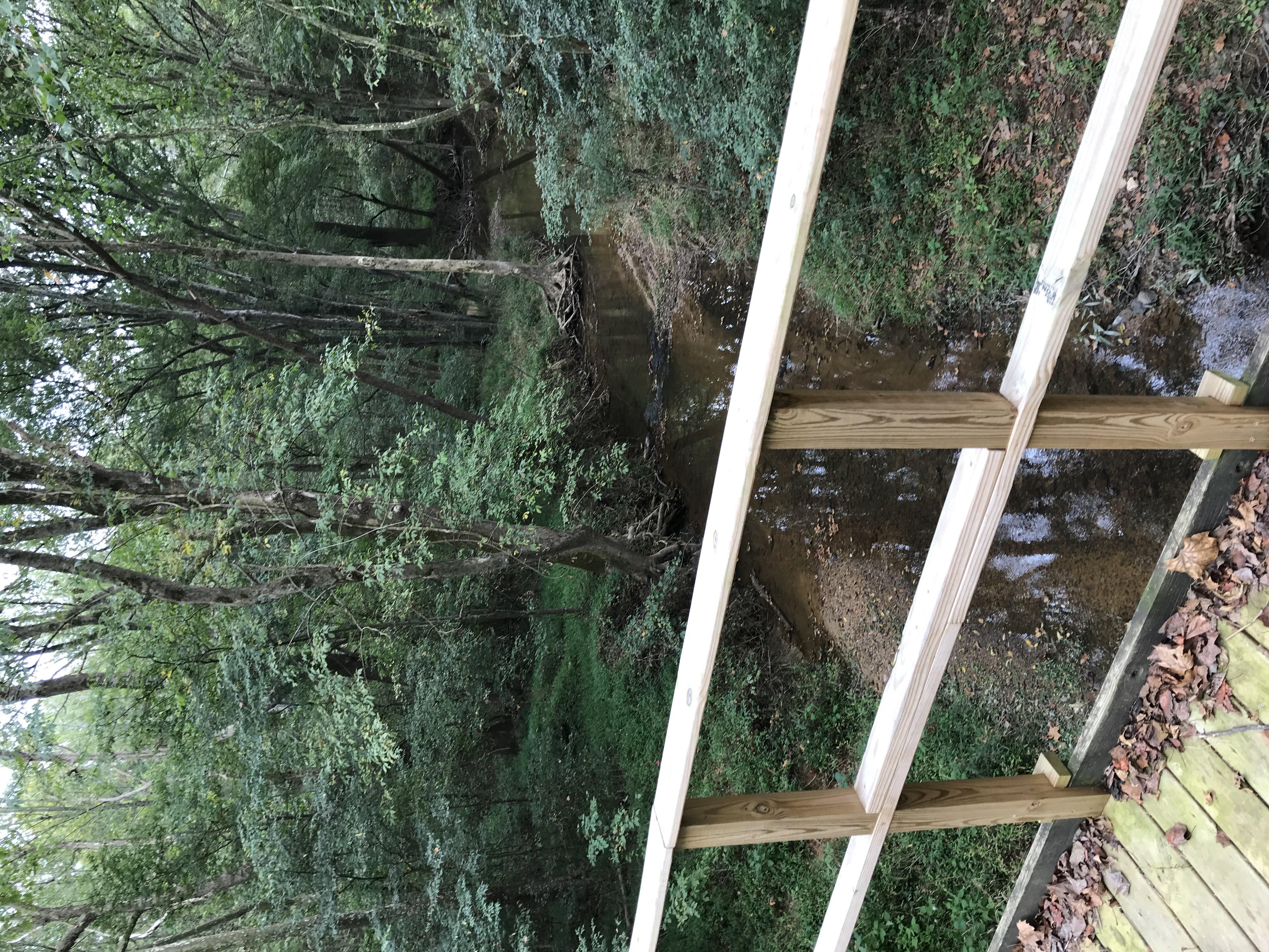
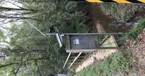
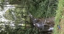
Rocky River NC at SR1300 near Crutchfield
Future / Actual / Minor
OWP 2.0 WWA Modal Title
01/11/2021, 10:04 PM UTC through 01/11/2021, 10:04 PM UTC
Sender
Sent
- Upstream gauge unavailableDownstream gauge unavailableWarning: no valid ratings curve available. Transformations to and from FEET/CFS/KCFS will not happen.No secondary data available. Transformations for Flow data and a secondary Y axis cannot be made at this time.
Traces and Thresholds Click to turn on/off display
Observed (OBS) 04/14/2025 4:30 AM EDTCATEGORY STAGE 
Moderate Flooding 17 ft Minor Flooding 13 ft Action 12 ft Reliability of the Forecast:
NOTE: Forecasts are not available. Only observed stages are available for this point.
National Water Model Hydrograph
Official NWS streamflow forecasts are produced by NWS hydrologic forecasters for river gauge locations using hydrologic models which are calibrated to that location. This process considers additional guidance and information, including local expertise and experience, to produce the best forecast possible. The NWM output provides supplemental guidance to NWS forecasters and should not be considered an official NWS river forecast.
Flood Impacts
- 17 - Moderate flood stage. The Staley-Snow Camp Rd bridge is flooded. Flooding will be extensive on downstream pasture land.
- 13 - Minor flood stage. Water level exceeds the capacity of the bridge culverts. Flooding of pasture along the river downstream of the bridge will be extensive.
- 8 - Bankfull. Lowland flooding of pasture along the river begins and gradually increases above this stage.
Gauge Info
| Coordinates | 35.8069, -79.5275 |
| RFC | SERFC |
| State | NC |
| WFO | RAH |
| County | Chatham |
| Data Provider(s) | |
| US Geological Survey | USGS--Water Resources of the United States |
| USGS | 0210166029 |
Gauge Location


Probability Information
No Images Available
Collaborative Agencies
The National Weather Service prepares its forecasts and other services in collaboration with agencies like the US Geological Survey, US Bureau of Reclamation, US Army Corps of Engineers, Natural Resource Conservation Service, National Park Service, ALERT Users Group, Bureau of Indian Affairs, and many state and local emergency managers across the country. For details, please click here.